
See Where Every Photo Was Taken.
Explore your photos on an interactive map. Photos with GPS data are plotted as clusters you can click to browse. Perfect for travel photography and reliving trips.
- GPS-firstReads EXIF + Takeout location data
- ClusteredNearby photos grouped with a count badge
- TimelineFilter markers by date range
- LocalGPS data never leaves your device
Every trip, plotted automatically
GPS coordinates already in your photos' EXIF data are read on import — no manual pinning.
Clusters, not clutter
Photos taken close together group into one marker with a count, so a busy city doesn't bury the map in pins.
Click a marker, see the photos
Every cluster opens straight into the photos taken there — no separate search step.
Takeout coordinates just work
GPS data from a Google Photos Takeout export is preserved and plotted the same way as a camera's own EXIF.
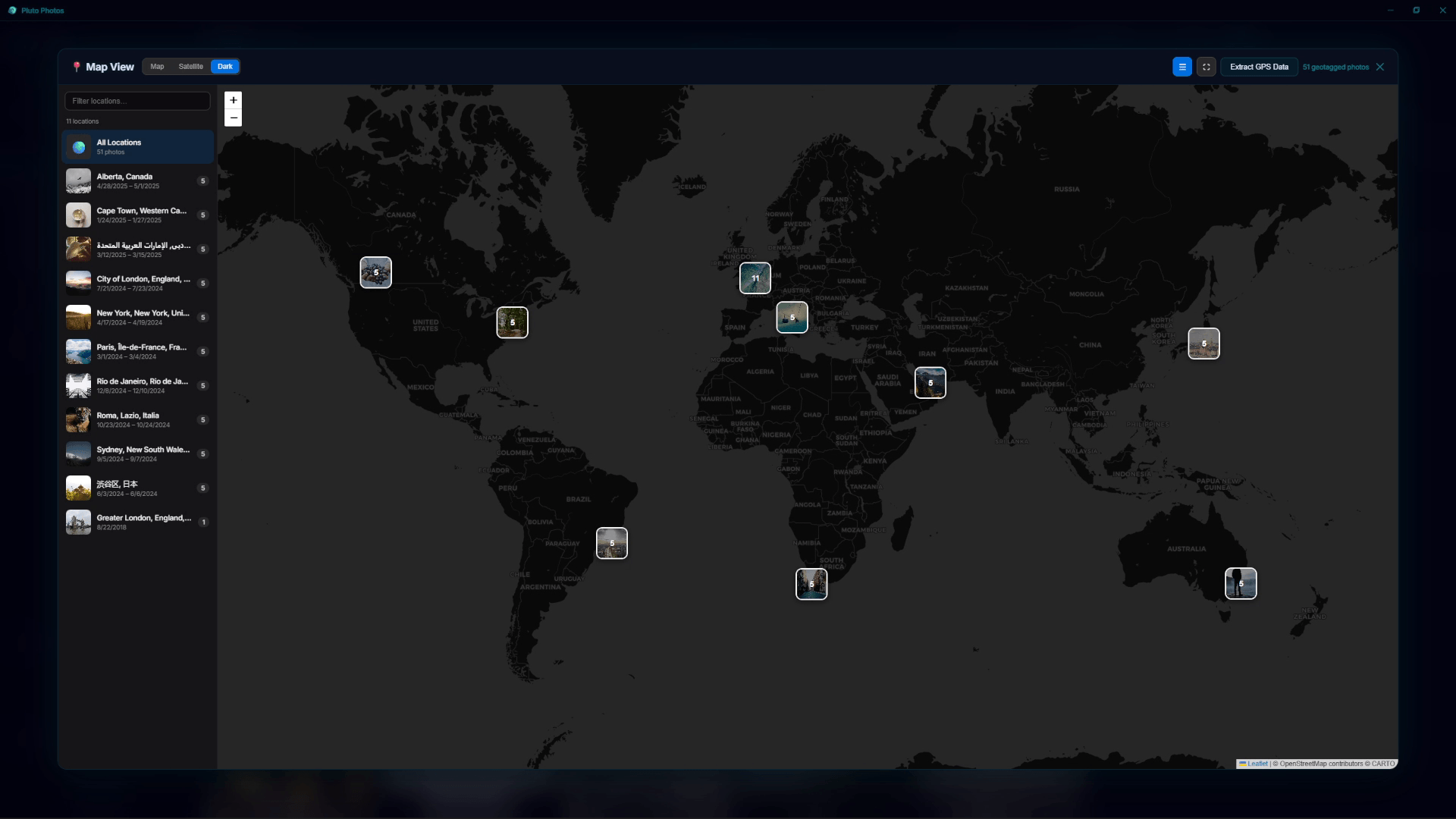
Pluto Photos' Map View turns your photo library into a geographic adventure. Every photo with embedded GPS coordinates appears on an interactive, zoomable map.
How It Works
Most modern cameras and smartphones embed GPS coordinates in photo metadata (EXIF data). Pluto Photos reads this data and plots each photo on a map. Photos that are close together are grouped into clusters with a count badge.
Features
- Interactive map — Pan, zoom, and explore your photos geographically
- Cluster grouping — Nearby photos are grouped into expandable clusters
- Click to view — Click any marker or cluster to see the photos at that location
- Timeline integration — Filter map markers by date range
- Takeout compatibility — GPS data from Google Photos Takeout JSON files is preserved during import
- EXIF GPS reading — Works with any camera that embeds GPS coordinates
Use Cases
- Travel photography — Relive trips by exploring map locations
- Family events — See photos from birthdays, reunions, and holidays on the map
- Real estate — Organize property photos by location
- Nature photography — Track wildlife sighting locations
Privacy Note
Map view processes all GPS data locally. Your location data is never sent to external servers. The map tiles can be cached locally after initial load.
GPS Data Sources
Pluto Photos can read GPS coordinates from:
- Camera EXIF metadata (most smartphones, GPS-enabled cameras)
- Google Photos Takeout JSON sidecar files
- iCloud photo export metadata
- Manually added coordinates
Try Map View in Pluto Photos
Download free for Windows, macOS, or Linux. Map View is available in the Pro tier.